
As I mentioned before, Auripo is one area we haven't got good enough aerials of at the moment.
These two pictures are lower quality aerials from 1976 and 1982.
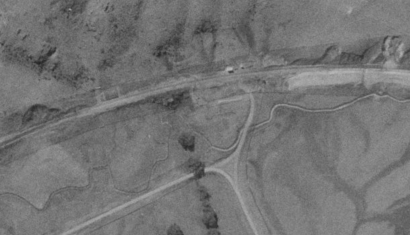
In this 1976 view we can see the shelter shed opposite the access road. Given what we now know about the placement of the 161 km peg there is some question over the stated station location 161.07 km which is 70 metres west of where the shed is shown - assuming the 161 km peg as it can be seen on Google Maps is authentic. It is possible of course that the centre of station limits, another measure of station location, is actually 161.07 while the shelter shed may not have been exactly in the middle. There is a suggestion that the station had a platform at one time but it is not seen in the D&E photo. A site of the loading bank is just visible and I will update the map to show these new locations.

This one from 1982 suggests post closure the loop track was left in the ground and just disconnected at either end. When I travelled up the line in 1987 and 1989 the disconnected sidings could be seen at a number of closed stations. There is probably enough detail between these two photos to reasonably confirm the station layout for the maps to be finished.